Feedback from
our clients
Scoilnet Maps — Web Mapping for Irish Schools
Project Overview
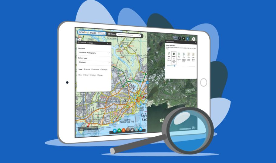
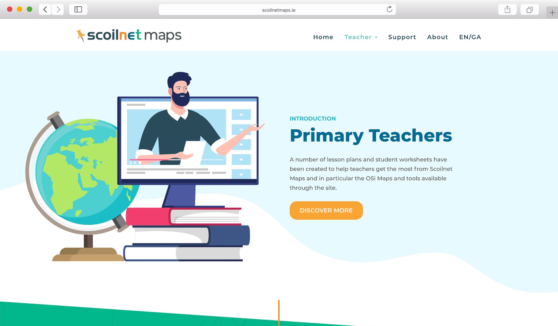
Scoilnet Maps is an enterprising online mapping resource for Irish schools. Our vibrant website design presents a user-friendly portal for teachers and students in Ireland.
This progressive project was developed with the assistance of of the Forward Planning Unit in the Department of Education and Skills, and also the Department of Environment and Local Government.
Services:
- WEBSITE DESIGN AND DEVELOPMENT
- ILLUSTRATION DESIGN
The Project Brief
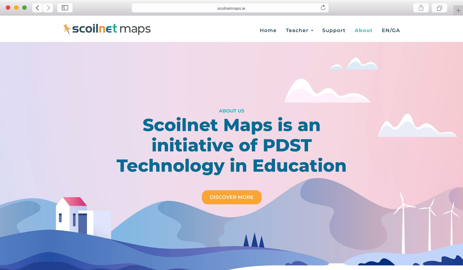
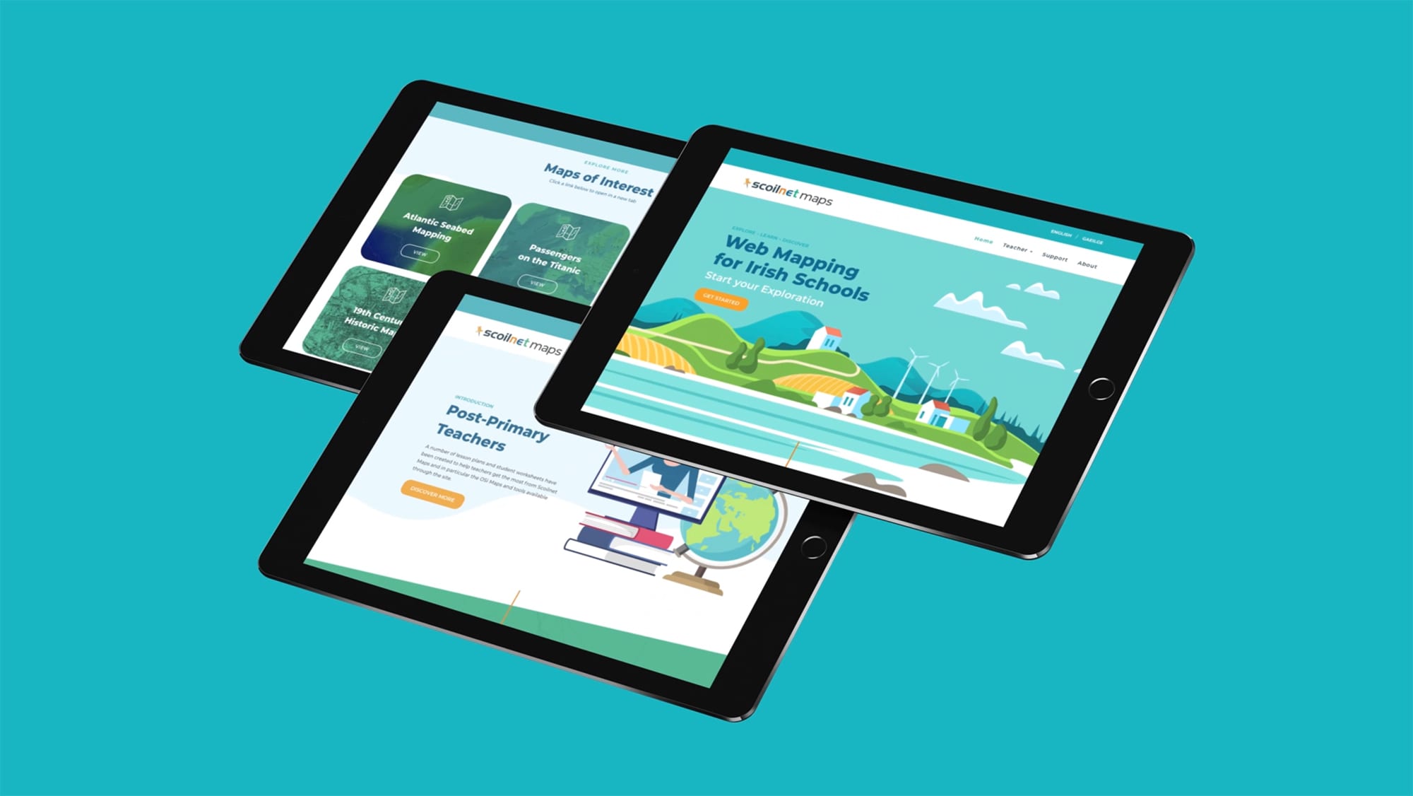
Scoilnet Maps initial project brief requested a modern and friendly interface for their maps and related online materials. On first visit to the site the user is welcomed with a charming illustration of the Irish landscape accompanied with animated clouds and turbines.
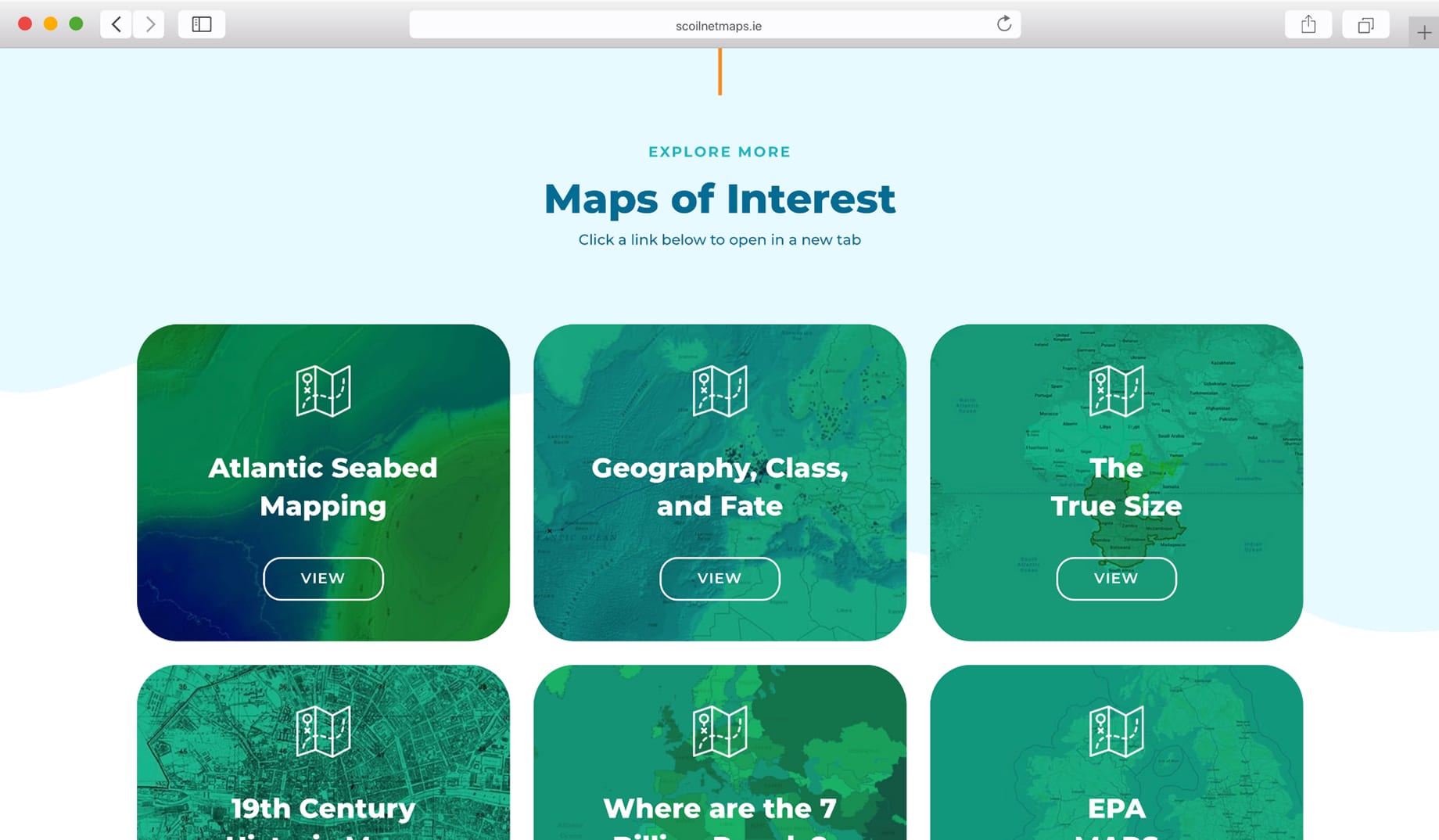
In our initial consultations the theme of ‘Exploration’ also emerged as very important for Scoilnet. Maps by their very nature encourage exploration on both intellectual and physical levels. Our welcoming website design encourages users to explore OSI maps, world maps and unique cartographic materials such as Atlantic seabed mapping and 19th century historic maps.
- STRATEGY &
WORKSHOP - ANALYSIS & CONCEPT
DEVELOPMENT - DEVELOPMENT &
PROGRAMMING - USER
TESTING - SITE UPLOAD
& TRAINING


